A 360° turn at sea
off Soksan Sakor Land
A drone holds still over the sea and turns once: the hills, sea and islands around Soksan Sakor Land in 58 seconds.
Source: Aerial footage by Coastal City Development Group · shot 12 Aug 2026 · reposted by Tian Sisuo, sales director, Soksan Sakor Land Phase I
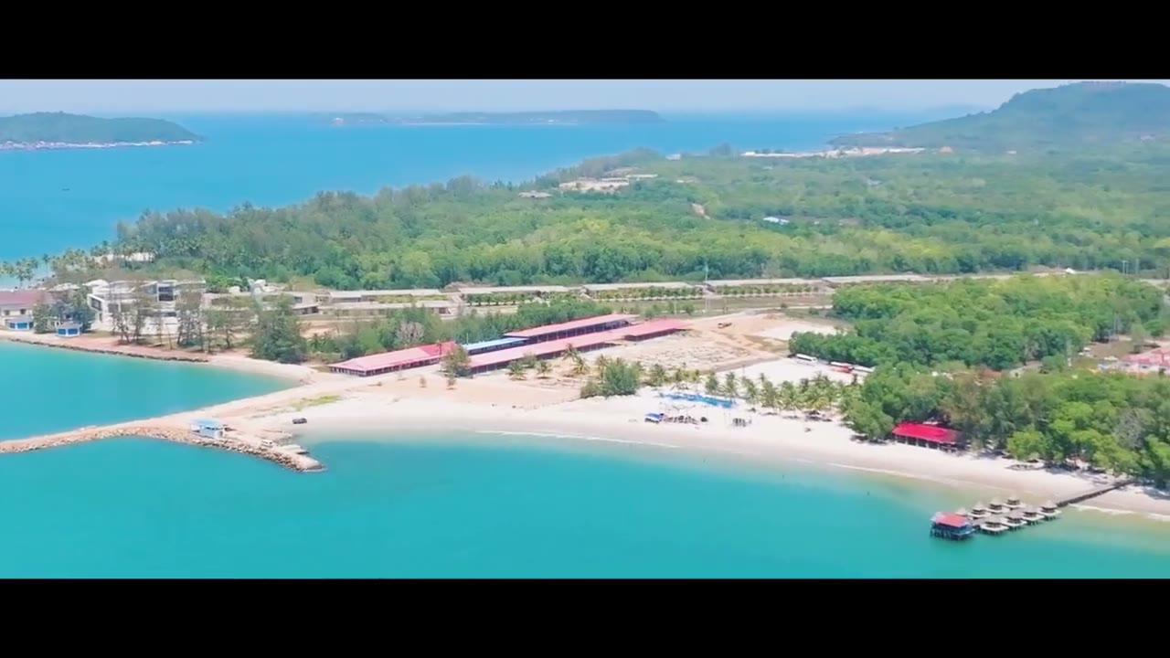
Aerial footage from Coastal City Development Group's files, shot on 12 Aug 2026: the drone hovers about 270 m above the sea off Soksan Sakor Land and turns a full circle. In turn: the cleared land towards Phase I and the built-up front row, inland towards the reservoir, the long beach and mangroves, open sea, the outer islands and a headland pier, and back to the shore. Silent.
Chapters
tap a time to jump
- Towards Phase I: cleared land and the front row
- Inland: reservoir and hills
- The long beach, mangroves, towards the coastal golf
- Open sea
- Outer islands and a headland pier
- Back to the shore and Phase I
Transcript
Silent aerial footage with no narration; the chapter notes below serve as the text of the film.
About the footage
- This is the group's official footage, shown as released; the name 七星海, logos and captions in it are part of the original.
- Real drone footage with no captions or overlays; buildings and roads are as they were on the day of the flight.
- The built-up front row is outside the Phase I boundary; Phase I itself is still land being levelled.
- Chapters follow the drone's actual heading (calibrated in our footage library); the turn is not at constant speed.
FAQ
Is Dara Sakor the same place as Qixinghai (七星海)?
Is Phase I built yet?
Who made this, and can I share it?
More videos
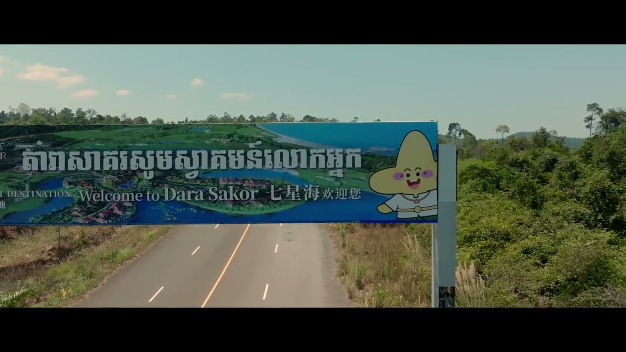
A 4 min 38 s official travel film: the welcome arch, bay aerials, speedboats in the mangroves, island sunsets, beach camps and a festival.
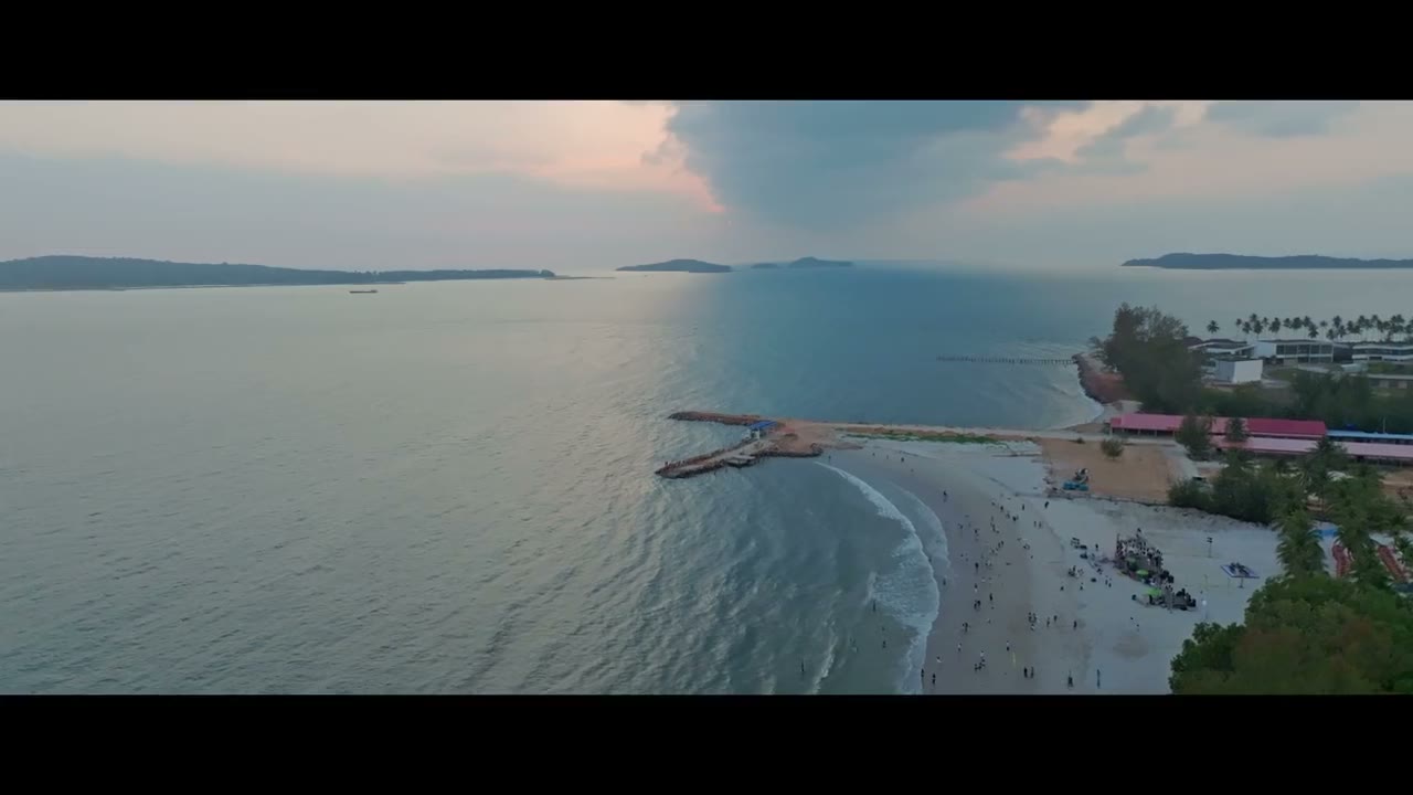
A 4-minute official travel film: sunrise at Angkor Wat, then the Dara Sakor bay, beach camps, mangroves, golf and a festival.
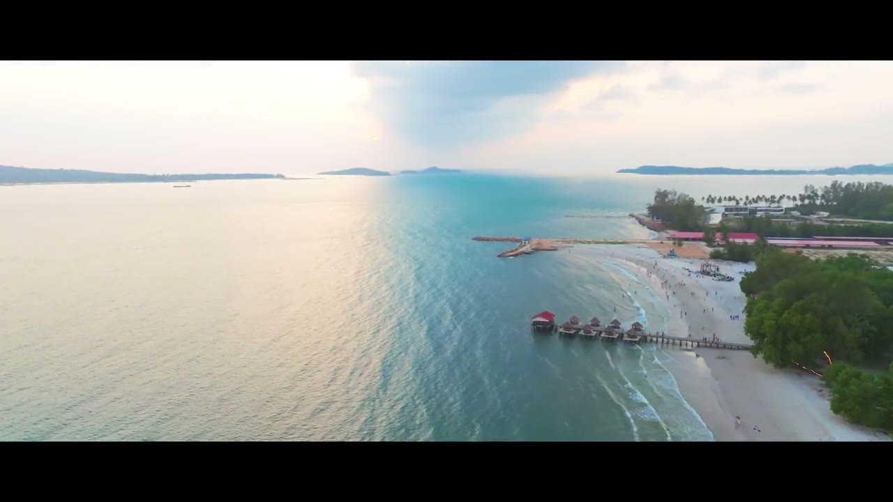
A 3 min 17 s official film: stilt houses, palm beaches, golf, the airport terminal, the air-dome hall, fireworks and the port.
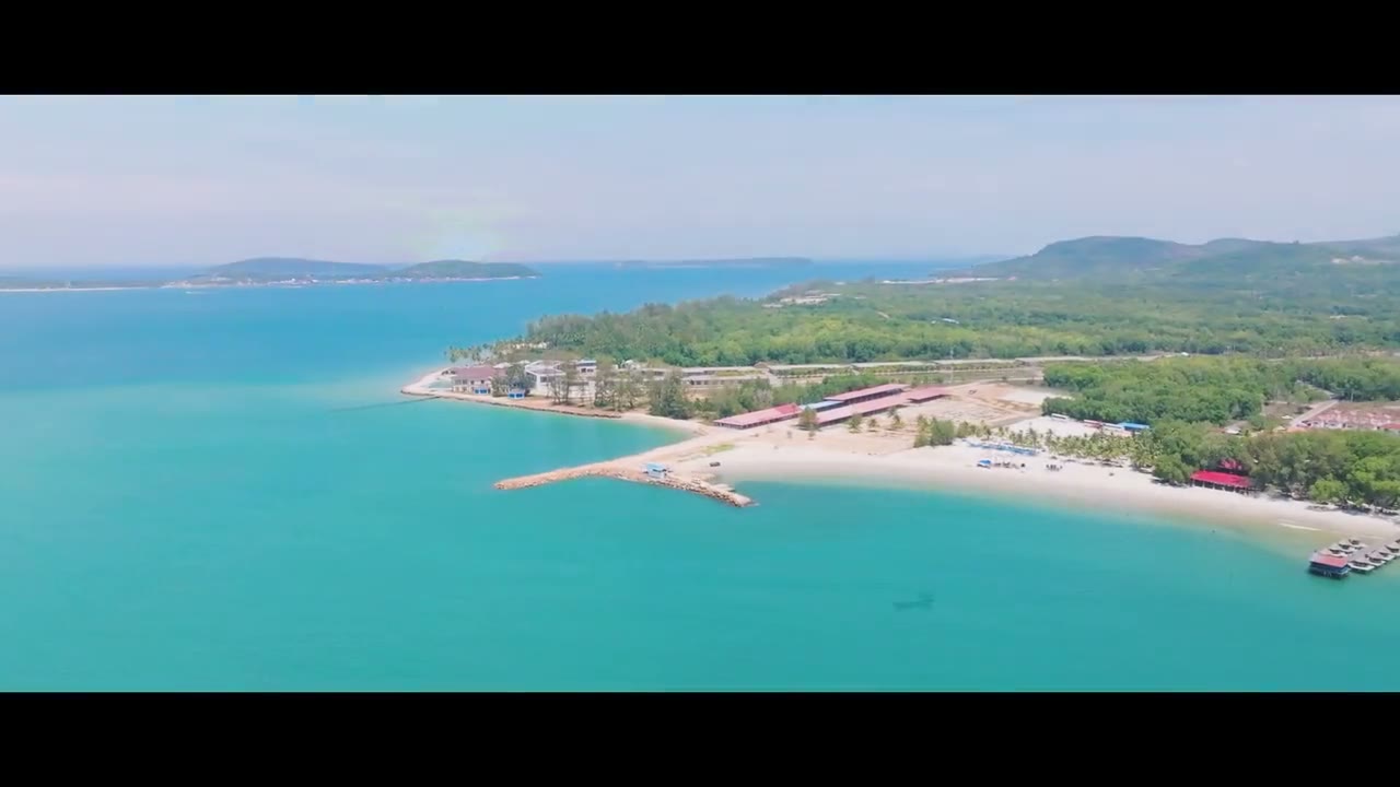
A 3-minute official holiday film: sunset at sea, the curved bay, golf and red-roofed hotels, mangrove rivers, young people by the sea.
A 2 min 37 s official film: white sand, tent camps, waves, boats, mangroves, resort hotels and golf.
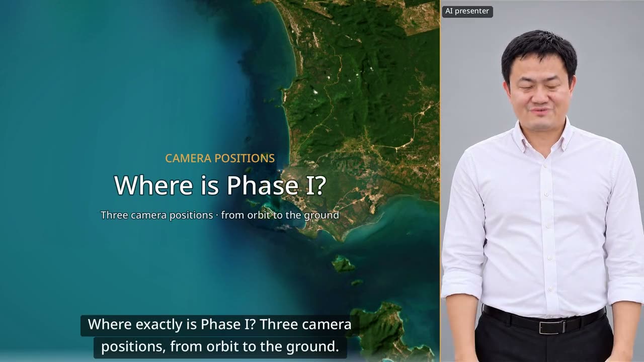
60 seconds: down from orbit to Dara Sakor, then three drone positions looking back at Phase I from the north, from the sea and from Say Phuthang Blvd. to the south.
Want to see the land, or talk?
Sources: F-107, F-153. Prices and terms are governed by the formal sales contract; this page is not investment advice.