Where is Phase I?
Three drone viewpoints, from orbit to the ground
A buyer's first question is always "where exactly is the land?" Rather than point at a map, this video flies down from orbit and then looks back at Phase I from three drone positions.
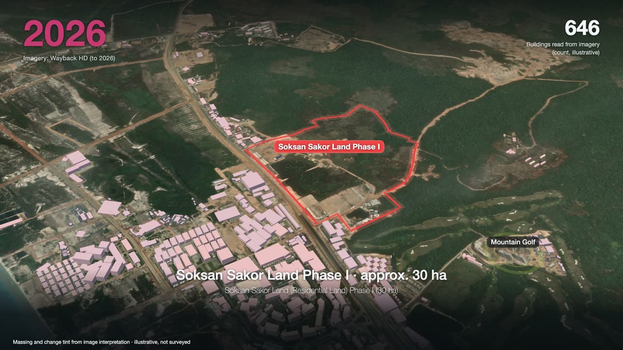
Soksan Sakor Land (Residential Land) Phase I (30 ha) sits on the coast of Dara Sakor, Koh Kong Province, Cambodia: about 30 hectares and 348 numbered plots. This 60-second video comes down from a satellite view, then looks back at Phase I from three drone positions — above the north side, over the sea to the southwest, and above the road to the south. From the third position you can see the finished shops along the road and, further east, the Mountain Golf Course and its driving range.
Chapters
tap a time to jump
- From orbit, flying down
- Dara Sakor and the Phase I boundary
- Position 1: north of Phase I, looking south
- Position 2: over the sea, southwest of Phase I
- Position 3: above the road south of Phase I
- Nearby: shops and the Mountain Golf Course
- Every drone shot is pinned on the map
- Want footage of a specific plot?
Transcript
Where exactly is Phase I? Three camera positions, from orbit to the ground.
This is Dara Sakor, in Koh Kong Province, Cambodia. Inside the red line is Phase I of the resort district.
Position one: above the north side, looking south.
The red line is a planning overlay: about 30 hectares, 348 plots.
Position two: over the sea, southwest of Phase I.
One full turn on the spot, looking back at Phase I from the sea.
Position three: above Union Road, south of Phase I.
First, what's nearby: finished shops line both sides of the road.
Further east: the Mountain Golf Course and its driving range.
Every drone shot can be found on the map, right where it was taken.
Want real footage of a plot? Leave its plot number in the comments.
About the footage
- The presenter is an AI avatar; likeness and voice are AI-generated, used with the sales director's consent.
- The red boundary is a planning-drawing overlay, shown for location only; plot boundaries are governed by the official sales plan and contract.
- The gold fan marks the drone's field of view and is illustrative, not a survey.
- All three aerial sequences are real drone footage; each marker on the satellite map is where the drone held position.
FAQ
Is Dara Sakor the same place as Qixinghai (七星海)?
Is Phase I built yet?
Is the red line the exact plot boundary?
What right does a buyer get?
Can I see footage of one particular plot?
More videos
3 minutes: one satellite image a year, from forest to a port, an airport and two golf courses, ending on Phase I.
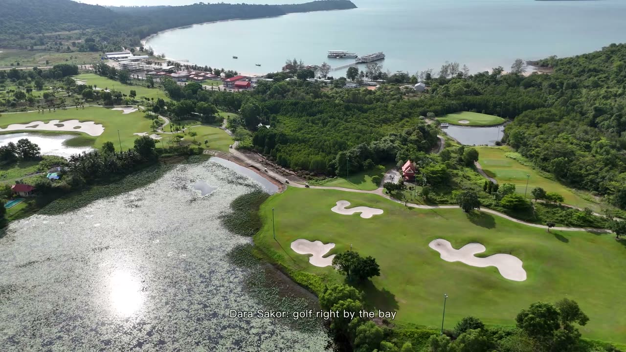
90 seconds: Dara Sakor Seaside Golf Course by the bay and the Mountain Golf Course, 18 holes each, all real footage.
Want to see the land, or talk?
Sources: F-036, F-044, F-106, F-107, F-112, F-141, F-153. Prices and terms are governed by the formal sales contract; this page is not investment advice.