Two golf courses
in Dara Sakor
Land buyers ask: if I live here, what do I do at the weekend? This film answers one part of that — the two golf courses by the bay.
Dara Sakor (Koh Kong Province, Cambodia) has two 18-hole golf courses: Dara Sakor Seaside Golf Course, begun in 2013 and in use by 2014, whose fairways wind around ponds down to the bay; and Dara Sakor Mountain Golf Course, begun in 2015 and in use by 2016. This 90-second video shows both with September 2024 drone footage and official photos and film — no AI-generated images.
Chapters
tap a time to jump
- Golf right by the bay
- Two golf courses
- Dara Sakor Seaside Golf Course
- From above: course and forest together
- Dara Sakor Mountain Golf Course
- Two courses, 18 holes each
- The bay on one side, the greens on the other
Transcript
Dara Sakor: golf right by the bay
There are two golf courses here
One is Dara Sakor Seaside Golf Course
Begun in 2013, in use by 2014
Fairways wind around the ponds, with the sea in view
A swing against the evening light
Greens and bunkers run all the way to the bay
Sprinklers turning, the sea beyond
From above, the course and the forest run together
Red roofs beside the greens
The other is Dara Sakor Mountain Golf Course
Begun in 2015, in use by 2016
Grassy slopes, layer upon layer
Two courses, 18 holes each
A club and golf balls on the grass
The bay on one side, the greens on the other
About the footage
- Everything on screen is real: September 2024 drone footage, Coastal City Group photos (year taken shown bottom-left, earliest 2014) and official film (year unknown, labelled "official footage"). No AI-generated images and no renderings.
- The voice-over is AI-generated.
- The courses are run by the group's own team; opening hours, access and fees are as the courses announce.
FAQ
Can I play there now?
How far are the courses from Phase I?
When was the footage taken?
How many holes?
More videos
60 seconds: down from orbit to Dara Sakor, then three drone positions looking back at Phase I from the north, the sea and the road to the south.
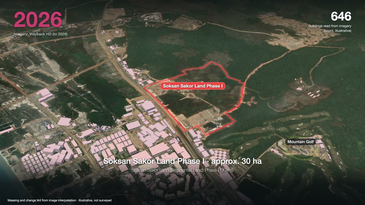
3 minutes: one satellite image a year, from forest to a port, an airport and two golf courses, ending on Phase I.
Want to see the land, or talk?
Sources: F-026, F-153. Prices and terms are governed by the formal sales contract; this page is not investment advice.