From land to sea
a pan near Phase I
Turn your head from the land towards the sea above Phase I: buildings, roads, sea and islands in turn.
Source: Aerial footage by Coastal City Development Group · shot 5 Aug 2026 · reposted by Tian Sisuo, sales director, Soksan Sakor Land Phase I
Aerial footage from Coastal City Development Group's files, shot on 5 Aug 2026: near Soksan Sakor Land Phase I the drone pans from the land side towards the sea (about 118°, by telemetry) — tall and curved buildings and greenery, then the works and the main road, then the coastline and the islands offshore. Silent, 23 s.
What the footage shows
In 23 seconds the drone pans slowly from the land side towards the sea. From 0:00 tall and curved buildings with greenery beside them; from 0:08 it sweeps over the works and a main road; from 0:16 it settles on the coastline, with islands visible offshore, and the film ends there. No captions, no sound.
It was filmed on 5 August 2026 and comes from Coastal City Development Group's official files, shown as released. The file is named "land 180°", but the drone's telemetry shows a turn of about 118°. It answers what a buyer wants to know: what the view towards the sea looks like from near Phase I. The buildings are outside the Phase I boundary and are not described as handed over. For Phase I land and prices, see Phase I land prices.
Chapters
tap a time to jump
- Tall and curved buildings, greenery
- The works and the main road
- Coast and islands
Transcript
Silent aerial footage with no narration; the chapter notes below serve as the text of the film.
About the footage
- This is the group's official footage, shown as released; the name 七星海, logos and captions in it are part of the original.
- Real drone footage with no captions or overlays; buildings and roads are as they were on the day of the flight.
- The buildings are existing or rising nearby, outside the Phase I boundary, and are not described as handed over.
- Filed as "land 180°"; the drone's telemetry shows a turn of about 118°.
FAQ
Is Dara Sakor the same place as Qixinghai (七星海)?
Is Phase I built yet?
Who made this, and can I share it?
More videos
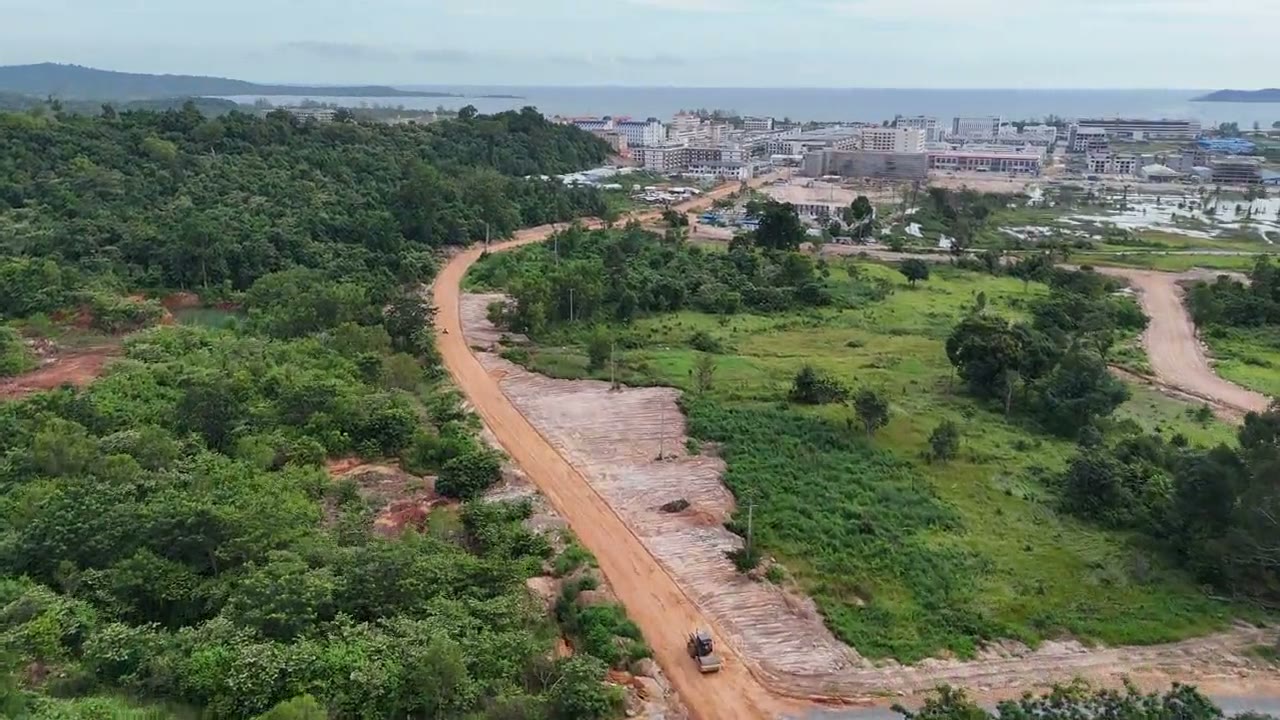
54 s of official aerial footage (5 Aug 2026): along a red-earth site road through the forest, past working vehicles, to levelled land and the coast.
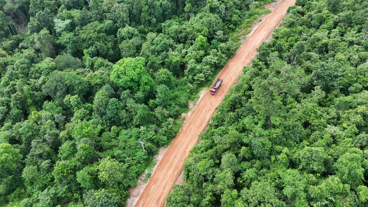
16 s of official aerial footage (5 Aug 2026): looking down on a red-earth site road through the forest, vehicles at work, sealed road at the far end.
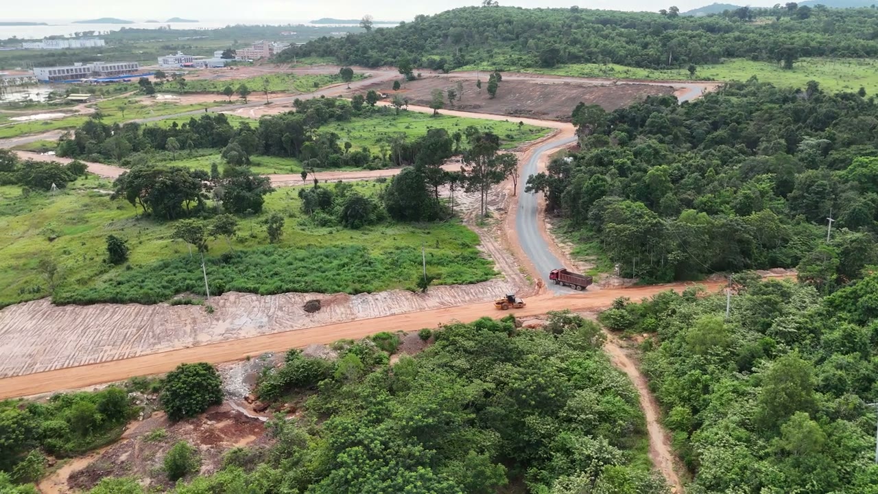
22 s of official aerial footage (5 Aug 2026): a curving site road, stone and embankment, cleared plots and working vehicles.
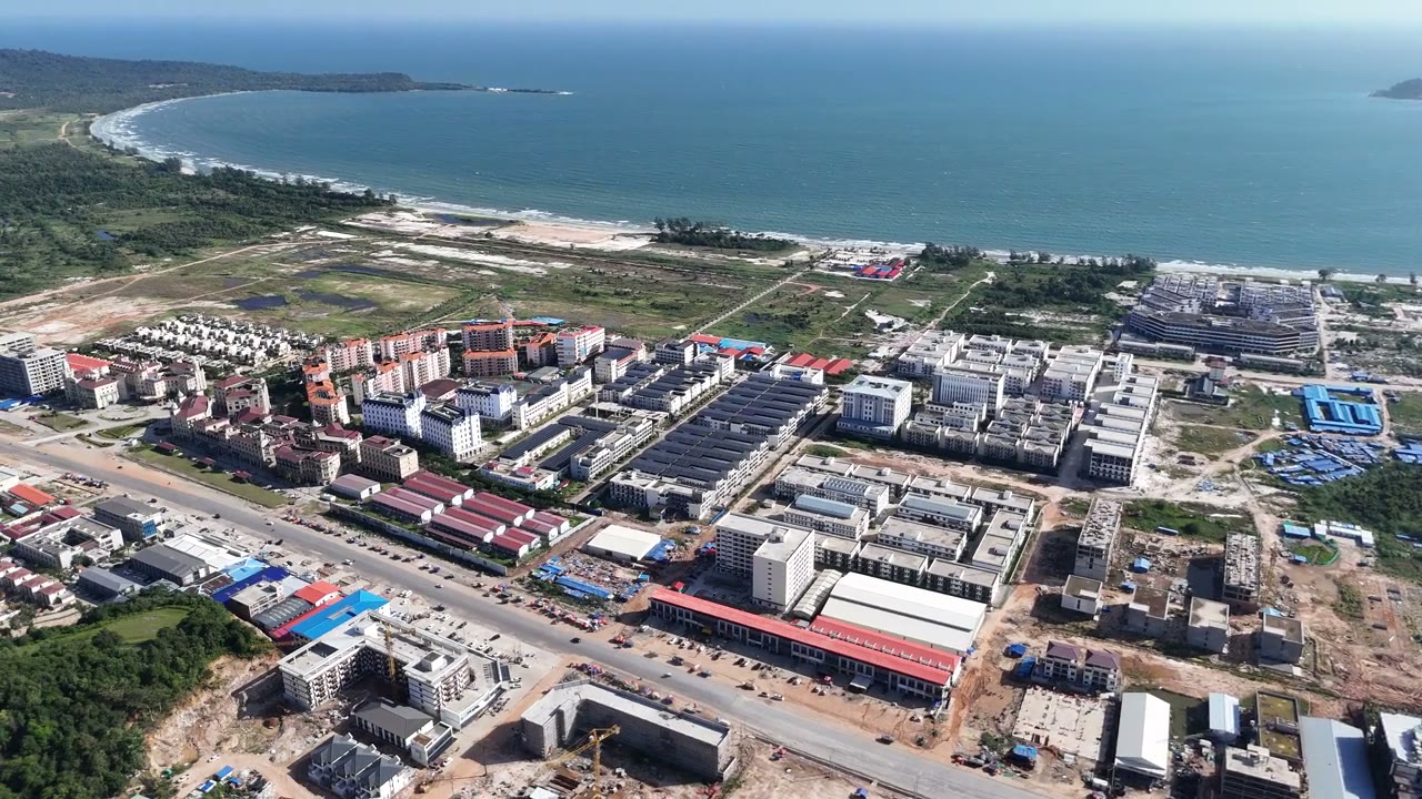
22 s of official aerial footage (12 Aug 2026): a turn above Phase I showing the built-up coast, forest roads, hills and sea.
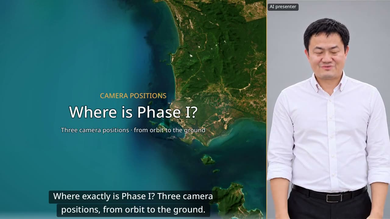
60 seconds: down from orbit to Dara Sakor, then three drone positions looking back at Phase I from the north, from the sea and from Say Phuthang Blvd. to the south.
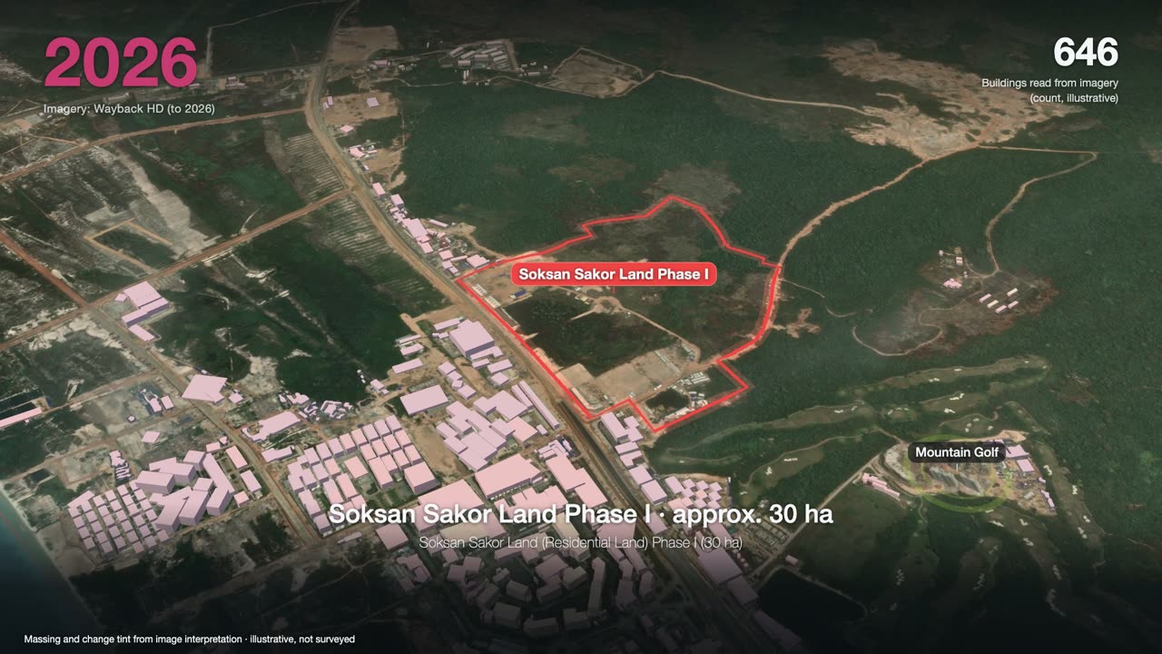
3 minutes: one satellite image a year, from forest to a port, an airport and two golf courses, ending on Phase I.
Want to see the land, or talk?
Sources: F-153. Prices and terms are governed by the formal sales contract; this page is not investment advice.